Chillesford
Introduction
The photograph on this page of Chillesford by David Kemp as part of the Geograph project.
The Geograph project started in 2005 with the aim of publishing, organising and preserving representative images for every square kilometre of Great Britain, Ireland and the Isle of Man.

There are currently over 7.5m images from over 14,400 individuals and you can help contribute to the project by visiting https://www.geograph.org.uk
Chillesford
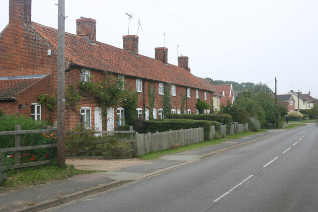
Image: © David Kemp Taken: 11 Sep 2014
Taken looking east along the B1084. Chillesford comprises a few houses and cottages such as these set out along this road.
Images are licensed for reuse under creativecommons.org/licenses/by-sa/2.0
Image Location
Latitude
52.116728
Longitude
1.48526