Footpath to Buncton Lane
Introduction
The photograph on this page of Footpath to Buncton Lane by Simon Carey as part of the Geograph project.
The Geograph project started in 2005 with the aim of publishing, organising and preserving representative images for every square kilometre of Great Britain, Ireland and the Isle of Man.

There are currently over 7.5m images from over 14,400 individuals and you can help contribute to the project by visiting https://www.geograph.org.uk
Footpath to Buncton Lane
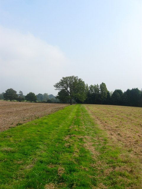
Image: © Simon Carey Taken: 7 Sep 2014
Heading east from the end of Crossways and here separating Image on the left from Image to the right, with the lone oak the sole survivor of the former hedgerow that once separated them. Beyond the hedgerow in the distance is Image
Images are licensed for reuse under creativecommons.org/licenses/by-sa/2.0
Image Location
Latitude
50.990107
Longitude
-0.194984