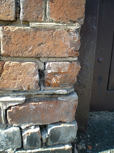
OS benchmark - Whitmore Reans, The Summerhouse
Introduction
The photograph on this page of OS benchmark - Whitmore Reans, The Summerhouse by Richard Law as part of the Geograph project.
The Geograph project started in 2005 with the aim of publishing, organising and preserving representative images for every square kilometre of Great Britain, Ireland and the Isle of Man.
There are currently over 7.5m images from over 14,400 individuals and you can help contribute to the project by visiting https://www.geograph.org.uk

Image: © Richard Law Taken: 7 Sep 2014
The badly damaged remains of an OS cutmark can (just about) be discerned on the half-brick in the centre of the shot. Only the horizontal datum line exists now, the arrow that's normally beneath it having been knocked off. This one was originally levelled at 120.689m above Ordnance Datum Newlyn.

