Bridgend : Angel Street
Introduction
The photograph on this page of Bridgend : Angel Street by Lewis Clarke as part of the Geograph project.
The Geograph project started in 2005 with the aim of publishing, organising and preserving representative images for every square kilometre of Great Britain, Ireland and the Isle of Man.

There are currently over 7.5m images from over 14,400 individuals and you can help contribute to the project by visiting https://www.geograph.org.uk
Bridgend : Angel Street
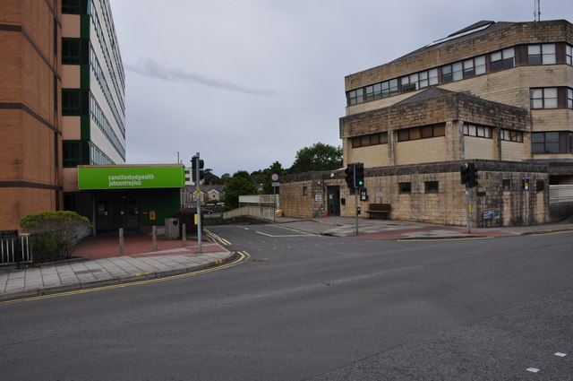
Image: © Lewis Clarke Taken: 24 Aug 2014
Angel Street with the Job Centre on the left and council building on the right.
Images are licensed for reuse under creativecommons.org/licenses/by-sa/2.0
Image Location
Latitude
51.505132
Longitude
-3.579665