Durham: towards the city
Introduction
The photograph on this page of Durham: towards the city by John Sutton as part of the Geograph project.
The Geograph project started in 2005 with the aim of publishing, organising and preserving representative images for every square kilometre of Great Britain, Ireland and the Isle of Man.

There are currently over 7.5m images from over 14,400 individuals and you can help contribute to the project by visiting https://www.geograph.org.uk
Durham: towards the city
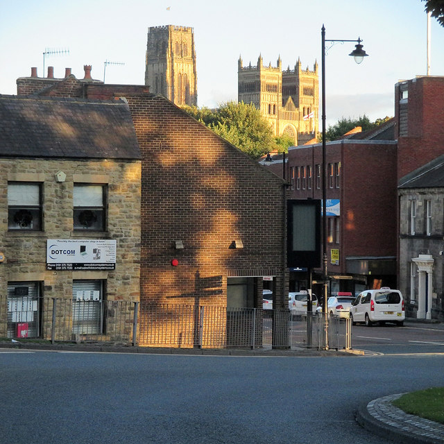
Image: © John Sutton Taken: 31 Aug 2014
A view across the roundabout below the railway viaduct, with North Road to the right and the towers of the Cathedral, caught by evening sunlight, on the skyline (in Image).
Images are licensed for reuse under creativecommons.org/licenses/by-sa/2.0
Image Location
Latitude
54.777863
Longitude
-1.58239