Derelict building in Richard Street, Pontycymer
Introduction
The photograph on this page of Derelict building in Richard Street, Pontycymer by Jaggery as part of the Geograph project.
The Geograph project started in 2005 with the aim of publishing, organising and preserving representative images for every square kilometre of Great Britain, Ireland and the Isle of Man.

There are currently over 7.5m images from over 14,400 individuals and you can help contribute to the project by visiting https://www.geograph.org.uk
Derelict building in Richard Street, Pontycymer
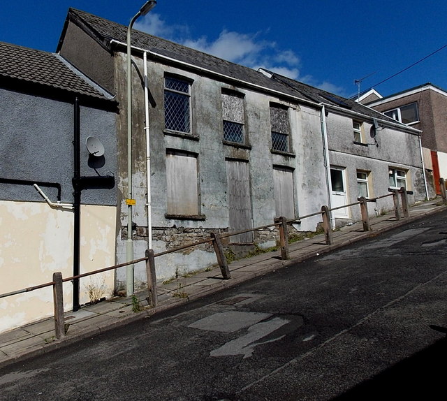
Image: © Jaggery Taken: 1 Sep 2014
Viewed in early September 2014. Sometimes a Google Earth Street View shows what a currently derelict building used to be. This was not the case here, where the June 2011 Google View was very similar, to the extent of showing the two upstairs windows half boarded over.
Images are licensed for reuse under creativecommons.org/licenses/by-sa/2.0
Image Location
Latitude
51.608947
Longitude
-3.582978