Windmill Lane
Introduction
The photograph on this page of Windmill Lane by John Baker as part of the Geograph project.
The Geograph project started in 2005 with the aim of publishing, organising and preserving representative images for every square kilometre of Great Britain, Ireland and the Isle of Man.

There are currently over 7.5m images from over 14,400 individuals and you can help contribute to the project by visiting https://www.geograph.org.uk
Windmill Lane
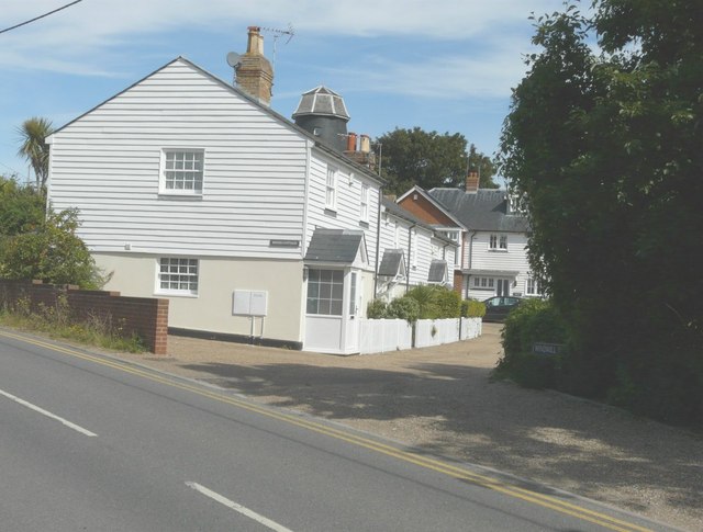
Image: © John Baker Taken: 24 Aug 2014
Seen from Oare Road, with the top of the windmill visible, after which the lane was named.
Images are licensed for reuse under creativecommons.org/licenses/by-sa/2.0
Image Location
Latitude
51.326193
Longitude
0.882266