Glebe Field
Introduction
The photograph on this page of Glebe Field by Simon Carey as part of the Geograph project.
The Geograph project started in 2005 with the aim of publishing, organising and preserving representative images for every square kilometre of Great Britain, Ireland and the Isle of Man.

There are currently over 7.5m images from over 14,400 individuals and you can help contribute to the project by visiting https://www.geograph.org.uk
Glebe Field
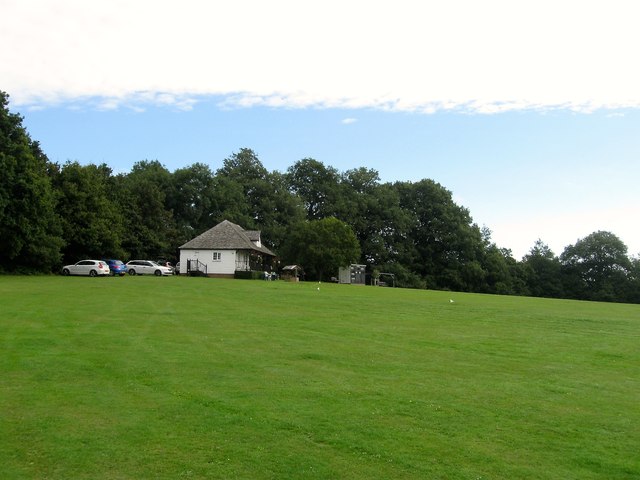
Image: © Simon Carey Taken: 31 Aug 2014
Home to Bolney Cricket Club. Originally called Church Field in Bolney's 1842 tithe map it was given over to the cricket club in 1926. Just behind where the pavilion is located was once the site of Glebe Barn. The cricket ground is bounded by Image to the north and east and overlooked to the west by Image and Image
Images are licensed for reuse under creativecommons.org/licenses/by-sa/2.0
Image Location
Latitude
50.990482
Longitude
-0.201809