Nether Hall Road, Doncaster
Introduction
The photograph on this page of Nether Hall Road, Doncaster by Christine Johnstone as part of the Geograph project.
The Geograph project started in 2005 with the aim of publishing, organising and preserving representative images for every square kilometre of Great Britain, Ireland and the Isle of Man.

There are currently over 7.5m images from over 14,400 individuals and you can help contribute to the project by visiting https://www.geograph.org.uk
Nether Hall Road, Doncaster
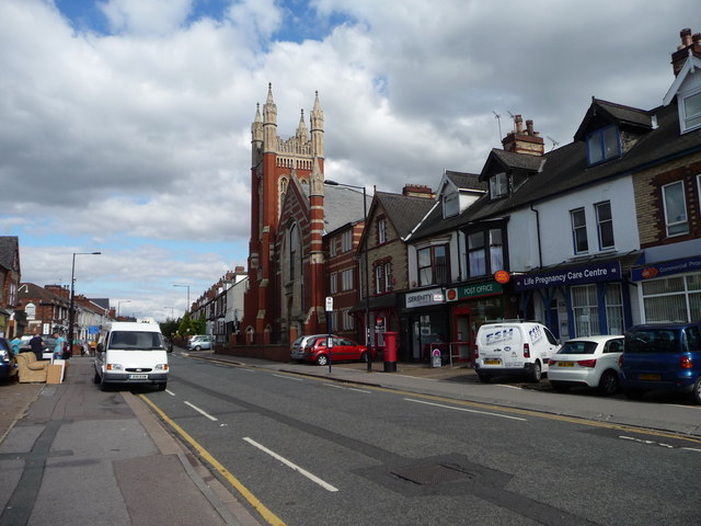
Image: © Christine Johnstone Taken: 1 Sep 2014
Looking north-east, out of town. The imposing church has been converted to flats
Images are licensed for reuse under creativecommons.org/licenses/by-sa/2.0
Image Location
Latitude
53.52606
Longitude
-1.127774