Lane near Maders
Introduction
The photograph on this page of Lane near Maders by Derek Harper as part of the Geograph project.
The Geograph project started in 2005 with the aim of publishing, organising and preserving representative images for every square kilometre of Great Britain, Ireland and the Isle of Man.

There are currently over 7.5m images from over 14,400 individuals and you can help contribute to the project by visiting https://www.geograph.org.uk
Lane near Maders
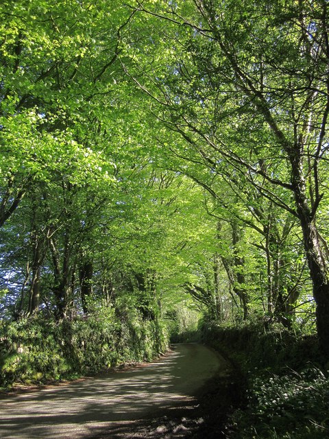
Image: © Derek Harper Taken: 14 May 2014
Looking in the opposite direction to Image]; the right turn shown in Image] has turned a further corner at the camera position and is now heading beneath newly-leaved trees for Jericho and Camelot.
Images are licensed for reuse under creativecommons.org/licenses/by-sa/2.0
Image Location
Latitude
50.521958
Longitude
-4.341719