Garth (Bridgend) railway station
Introduction
The photograph on this page of Garth (Bridgend) railway station by Nigel Thompson as part of the Geograph project.
The Geograph project started in 2005 with the aim of publishing, organising and preserving representative images for every square kilometre of Great Britain, Ireland and the Isle of Man.

There are currently over 7.5m images from over 14,400 individuals and you can help contribute to the project by visiting https://www.geograph.org.uk
Garth (Bridgend) railway station
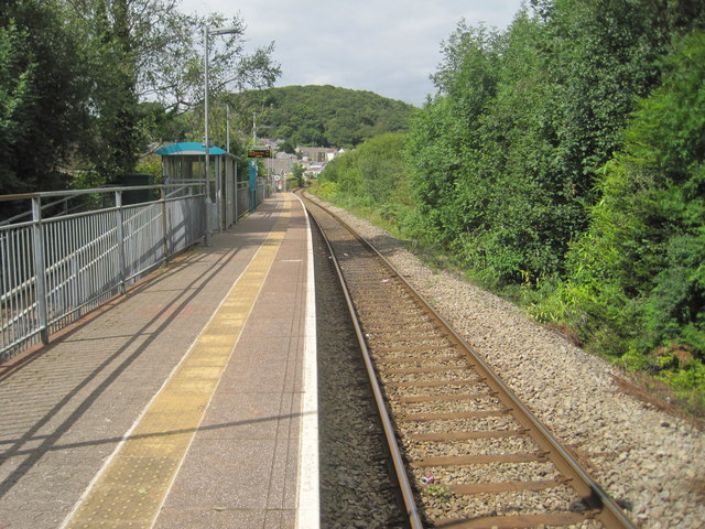
Image: © Nigel Thompson Taken: 16 Aug 2014
Opened in 1992 by British Rail on the line from Bridgend to Maesteg, although the original Llynvi & Ogmore Railway line ran further north, to Cymmer. View north west towards Maesteg Ewenny Road and Cymmer. Between 1864 and 1970 there had been a station called Troedyrhiw Garth, 100m behind the camera position.
Images are licensed for reuse under creativecommons.org/licenses/by-sa/2.0
Image Location
Latitude
51.596791
Longitude
-3.64305