South Farm, Chiseldon, Swindon
Introduction
The photograph on this page of South Farm, Chiseldon, Swindon by Brian Robert Marshall as part of the Geograph project.
The Geograph project started in 2005 with the aim of publishing, organising and preserving representative images for every square kilometre of Great Britain, Ireland and the Isle of Man.

There are currently over 7.5m images from over 14,400 individuals and you can help contribute to the project by visiting https://www.geograph.org.uk
South Farm, Chiseldon, Swindon
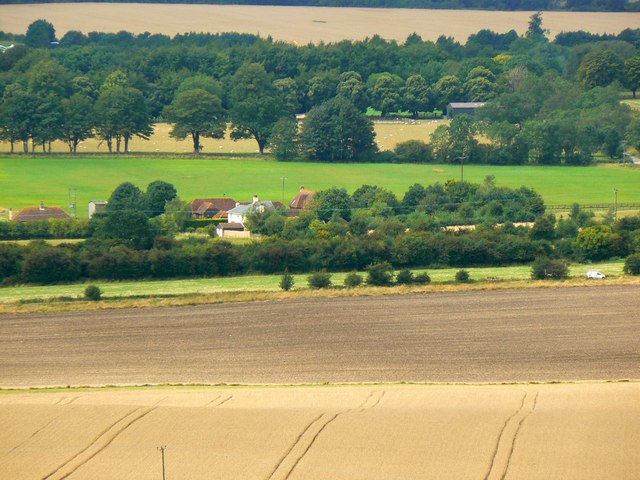
Image: © Brian Robert Marshall Taken: 12 Aug 2014
South farm is the collective name for the cluster of buildings in the centre of the image. The white van at the extreme right indicates the line of an old Roman Road now the modern A346.
Images are licensed for reuse under creativecommons.org/licenses/by-sa/2.0
Image Location
Latitude
51.495575
Longitude
-1.72266