Gore Lane, Uplyme
Introduction
The photograph on this page of Gore Lane, Uplyme by Philip Pankhurst as part of the Geograph project.
The Geograph project started in 2005 with the aim of publishing, organising and preserving representative images for every square kilometre of Great Britain, Ireland and the Isle of Man.

There are currently over 7.5m images from over 14,400 individuals and you can help contribute to the project by visiting https://www.geograph.org.uk
Gore Lane, Uplyme
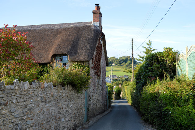
Image: © Philip Pankhurst Taken: 16 Jul 2014
A familiar walk for Hook Farm campers, leading to the Talbot Arms on the main road.
Images are licensed for reuse under creativecommons.org/licenses/by-sa/2.0
Image Location
Latitude
50.73438
Longitude
-2.958417