The Gateway, Rushenden Road
Introduction
The photograph on this page of The Gateway, Rushenden Road by John Baker as part of the Geograph project.
The Geograph project started in 2005 with the aim of publishing, organising and preserving representative images for every square kilometre of Great Britain, Ireland and the Isle of Man.

There are currently over 7.5m images from over 14,400 individuals and you can help contribute to the project by visiting https://www.geograph.org.uk
The Gateway, Rushenden Road
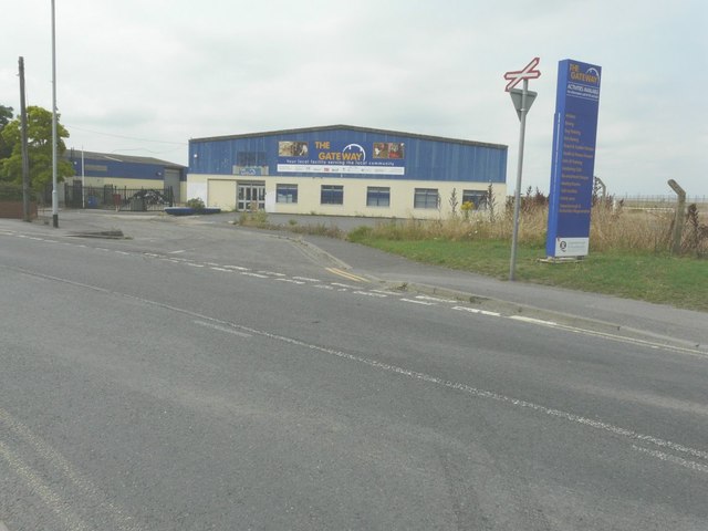
Image: © John Baker Taken: 27 Jul 2014
I was surprised to see that the main door of the building was firmly padlocked until I read that on 2 December 2013, it was reported on the kentonline website that the building was due to be demolished in August 2014 to make way for up to 250 homes http://www.kentonline.co.uk/sheerness/news/community-groups-fear-they-will-9521/
Images are licensed for reuse under creativecommons.org/licenses/by-sa/2.0
Image Location
Latitude
51.411346
Longitude
0.744663