Land adjacent to B5289
Introduction
The photograph on this page of Land adjacent to B5289 by Trevor Littlewood as part of the Geograph project.
The Geograph project started in 2005 with the aim of publishing, organising and preserving representative images for every square kilometre of Great Britain, Ireland and the Isle of Man.

There are currently over 7.5m images from over 14,400 individuals and you can help contribute to the project by visiting https://www.geograph.org.uk
Land adjacent to B5289
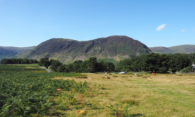
Image: © Trevor Littlewood Taken: 23 Jul 2014
Ground classified as open access land lies on the eastern side of the B5289 near to Lanthwaite Green. There's a car park on the west side of the road and in the distance is the twin-topped mountain, Mellbreak.
Images are licensed for reuse under creativecommons.org/licenses/by-sa/2.0
Image Location
Latitude
54.575486
Longitude
-3.302057