Queen's Inclosure - a way out
Introduction
The photograph on this page of Queen's Inclosure - a way out by Robin Webster as part of the Geograph project.
The Geograph project started in 2005 with the aim of publishing, organising and preserving representative images for every square kilometre of Great Britain, Ireland and the Isle of Man.

There are currently over 7.5m images from over 14,400 individuals and you can help contribute to the project by visiting https://www.geograph.org.uk
Queen's Inclosure - a way out
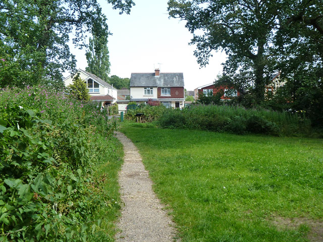
Image: © Robin Webster Taken: 23 Jul 2014
Part of the Forestry Commission's Bere Forest, which is much fragmented.
Images are licensed for reuse under creativecommons.org/licenses/by-sa/2.0
Image Location
Latitude
50.892548
Longitude
-1.01762