The Roebuck pub, Harrogate Road, Greengates
Introduction
The photograph on this page of The Roebuck pub, Harrogate Road, Greengates by Linden Milner as part of the Geograph project.
The Geograph project started in 2005 with the aim of publishing, organising and preserving representative images for every square kilometre of Great Britain, Ireland and the Isle of Man.

There are currently over 7.5m images from over 14,400 individuals and you can help contribute to the project by visiting https://www.geograph.org.uk
The Roebuck pub, Harrogate Road, Greengates
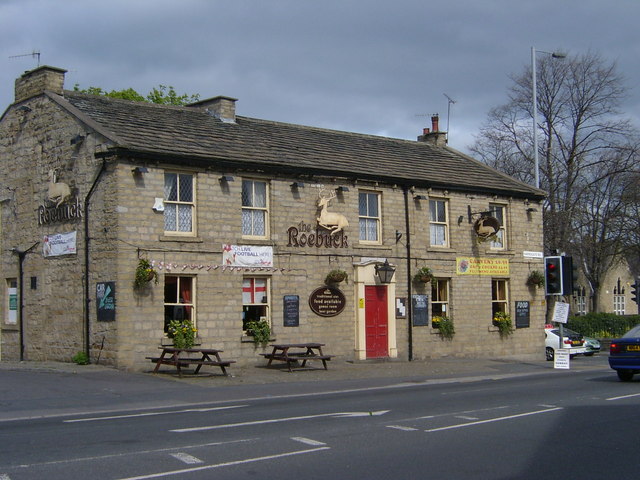
Image: © Linden Milner Taken: 19 Apr 2007
The traffic volume at the crossroads in the middle of Greengates village is so great that it was a challenge to take this picture with no vehicles obscuring it. Harrogate Road runs down from Undercliffe through Apperley Bridge and the other road is called the "New Line" and runs through Calverley and Idle between Leeds and Shipley, bisecting Greengates on the way.
Images are licensed for reuse under creativecommons.org/licenses/by-sa/2.0
Image Location
Latitude
53.830807
Longitude
-1.712347