Playing Field, Hurstpierpoint College
Introduction
The photograph on this page of Playing Field, Hurstpierpoint College by Simon Carey as part of the Geograph project.
The Geograph project started in 2005 with the aim of publishing, organising and preserving representative images for every square kilometre of Great Britain, Ireland and the Isle of Man.

There are currently over 7.5m images from over 14,400 individuals and you can help contribute to the project by visiting https://www.geograph.org.uk
Playing Field, Hurstpierpoint College
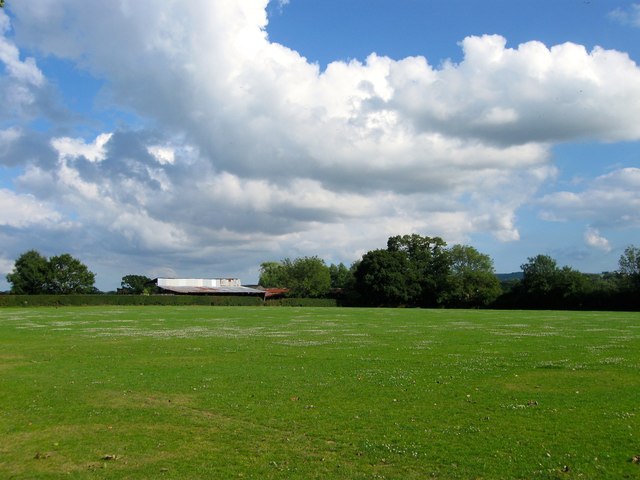
Image: © Simon Carey Taken: 13 Jul 2014
Located to the south of Image and west of Highfields Farm, this was formerly a field called Seven Acres according to Hurstpierpoint's 1842 tithe map.
Images are licensed for reuse under creativecommons.org/licenses/by-sa/2.0
Image Location
Latitude
50.942193
Longitude
-0.161681