Distinctive building
Introduction
The photograph on this page of Distinctive building by John Beal as part of the Geograph project.
The Geograph project started in 2005 with the aim of publishing, organising and preserving representative images for every square kilometre of Great Britain, Ireland and the Isle of Man.

There are currently over 7.5m images from over 14,400 individuals and you can help contribute to the project by visiting https://www.geograph.org.uk
Distinctive building
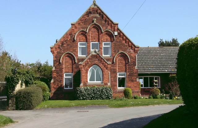
Image: © John Beal Taken: 5 Apr 2007
This house seems to have been converted and extended from what appears to be either a church-related building or some kind of school, and a very good result can clearly be seen.
Images are licensed for reuse under creativecommons.org/licenses/by-sa/2.0
Image Location


Leaflet Map data © OpenStreetMap
Latitude
53.525213
Longitude
-0.193406