Diversion - Nolton Street closed, Bridgend
Introduction
The photograph on this page of Diversion - Nolton Street closed, Bridgend by Jaggery as part of the Geograph project.
The Geograph project started in 2005 with the aim of publishing, organising and preserving representative images for every square kilometre of Great Britain, Ireland and the Isle of Man.

There are currently over 7.5m images from over 14,400 individuals and you can help contribute to the project by visiting https://www.geograph.org.uk
Diversion - Nolton Street closed, Bridgend
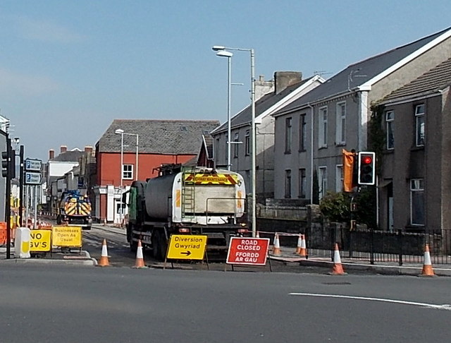
Image: © Jaggery Taken: 30 Mar 2014
Viewed across the A473. Nolton Street is closed to traffic on the last Sunday in March 2014 for road resurfacing. Pedestrians can still enter Nolton Street.
Images are licensed for reuse under creativecommons.org/licenses/by-sa/2.0
Image Location
Latitude
51.502209
Longitude
-3.576394