Western Road, Hurstpierpoint
Introduction
The photograph on this page of Western Road, Hurstpierpoint by Simon Carey as part of the Geograph project.
The Geograph project started in 2005 with the aim of publishing, organising and preserving representative images for every square kilometre of Great Britain, Ireland and the Isle of Man.

There are currently over 7.5m images from over 14,400 individuals and you can help contribute to the project by visiting https://www.geograph.org.uk
Western Road, Hurstpierpoint
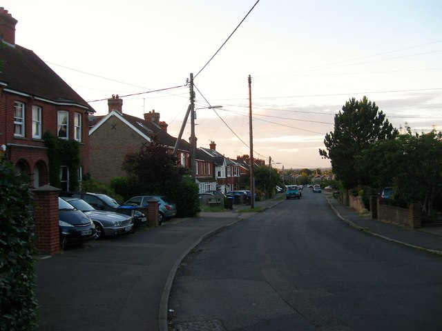
Image: © Simon Carey Taken: 6 Jul 2014
The current road runs from Albourne Road, the B2116, to Cuckfield Road, though originally it was the route north out of the village prior to the latter being built as a London-Brighton turnpike in the late 18th century. On the 1875 OS map it is called Whitehorse Lane after the inn at the southern end, by the 1899 map it was called Chinese Lane after the Chinese Gardens pleasure ground at the northern end, before settling on its current name by the 1810 OS map. The housing which originally grouped around the northern and southern junctions has gradually extended and joined together.
Images are licensed for reuse under creativecommons.org/licenses/by-sa/2.0
Image Location
Latitude
50.937842
Longitude
-0.18249