Orchard, Kinnersley
Introduction
The photograph on this page of Orchard, Kinnersley by Richard Webb as part of the Geograph project.
The Geograph project started in 2005 with the aim of publishing, organising and preserving representative images for every square kilometre of Great Britain, Ireland and the Isle of Man.

There are currently over 7.5m images from over 14,400 individuals and you can help contribute to the project by visiting https://www.geograph.org.uk
Orchard, Kinnersley
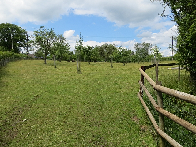
Image: © Richard Webb Taken: 29 Jun 2014
The Ordnance Survey are selective in which orchards get on the map. (It is also about time that there was a symbol for vineyards). West of Leominster there are many orchards, many large and modern. This is a well cared for old farm orchard.
Images are licensed for reuse under creativecommons.org/licenses/by-sa/2.0
Image Location


Leaflet Map data © OpenStreetMap
Latitude
52.140217
Longitude
-2.963029