Staines Road East
Introduction
The photograph on this page of Staines Road East by James Emmans as part of the Geograph project.
The Geograph project started in 2005 with the aim of publishing, organising and preserving representative images for every square kilometre of Great Britain, Ireland and the Isle of Man.

There are currently over 7.5m images from over 14,400 individuals and you can help contribute to the project by visiting https://www.geograph.org.uk
Staines Road East
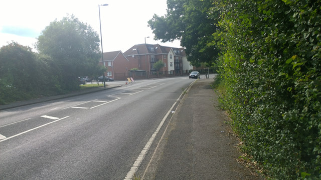
Image: © James Emmans Taken: 25 Jun 2014
A308 The turning into French Street at a sharp corner for 40mph limit.
Images are licensed for reuse under creativecommons.org/licenses/by-sa/2.0
Image Location
Latitude
51.413812
Longitude
-0.402968