Dig on Manor Farm
Introduction
The photograph on this page of Dig on Manor Farm by David Lally as part of the Geograph project.
The Geograph project started in 2005 with the aim of publishing, organising and preserving representative images for every square kilometre of Great Britain, Ireland and the Isle of Man.

There are currently over 7.5m images from over 14,400 individuals and you can help contribute to the project by visiting https://www.geograph.org.uk
Dig on Manor Farm
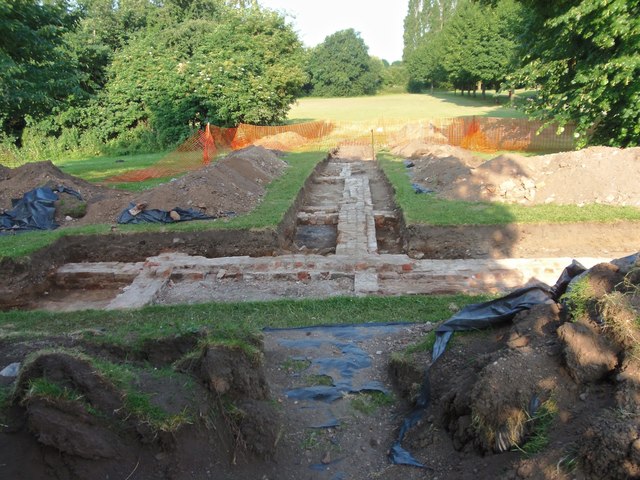
Image: © David Lally Taken: 22 Jun 2014
The Friends of Manor Farm Park have been awarded a Heritage Lottery Fund grant to fund a dig on the site of Manor Farm. In particular they are looking for old leats and water mill buildings. They appear to have found building straight away.
Images are licensed for reuse under creativecommons.org/licenses/by-sa/2.0
Image Location
Latitude
52.903658
Longitude
-1.253926