The Green Man pub, Takeley
Introduction
The photograph on this page of The Green Man pub, Takeley by Bikeboy as part of the Geograph project.
The Geograph project started in 2005 with the aim of publishing, organising and preserving representative images for every square kilometre of Great Britain, Ireland and the Isle of Man.

There are currently over 7.5m images from over 14,400 individuals and you can help contribute to the project by visiting https://www.geograph.org.uk
The Green Man pub, Takeley
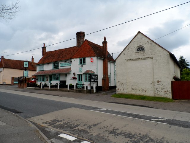
Image: © Bikeboy Taken: 7 Jun 2014
The building is C16. See http://www.britishlistedbuildings.co.uk/en-122114-green-man-public-house-takeley-essex. Takeley is linear settlement along the B1256 which was the A120 until a new dual carriageway was built recently. The route through the village follows the course of the Roman road linking St Albans (Verulamium) and Colchester (Camulodunum).
Images are licensed for reuse under creativecommons.org/licenses/by-sa/2.0
Image Location
Latitude
51.867647
Longitude
0.246212