Lane to Warslow
Introduction
The photograph on this page of Lane to Warslow by Andrew Hill as part of the Geograph project.
The Geograph project started in 2005 with the aim of publishing, organising and preserving representative images for every square kilometre of Great Britain, Ireland and the Isle of Man.

There are currently over 7.5m images from over 14,400 individuals and you can help contribute to the project by visiting https://www.geograph.org.uk
Lane to Warslow
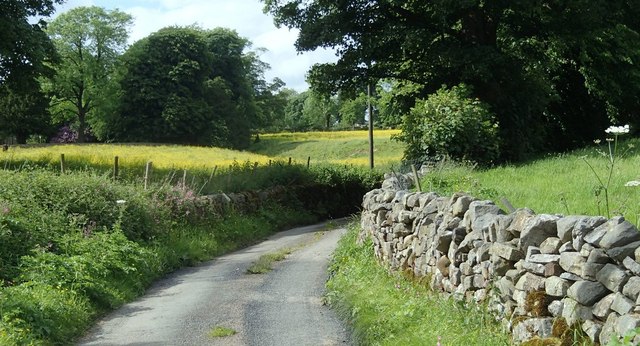
Image: © Andrew Hill Taken: 11 Jun 2014
A dead end lane to the village from a cluster of houses and farms.
Images are licensed for reuse under creativecommons.org/licenses/by-sa/2.0
Image Location
Latitude
53.122077
Longitude
-1.874292