Looking uphill from Wouldham Road
Introduction
The photograph on this page of Looking uphill from Wouldham Road by Marathon as part of the Geograph project.
The Geograph project started in 2005 with the aim of publishing, organising and preserving representative images for every square kilometre of Great Britain, Ireland and the Isle of Man.

There are currently over 7.5m images from over 14,400 individuals and you can help contribute to the project by visiting https://www.geograph.org.uk
Looking uphill from Wouldham Road
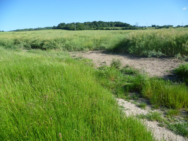
Image: © Marathon Taken: 10 Jun 2014
The woodland is just beyond what is marked as an old tip on the Ordnance Survey Map.
Images are licensed for reuse under creativecommons.org/licenses/by-sa/2.0
Image Location
Latitude
51.361023
Longitude
0.463674