Across valley of Sinderhope Burn
Introduction
The photograph on this page of Across valley of Sinderhope Burn by Trevor Littlewood as part of the Geograph project.
The Geograph project started in 2005 with the aim of publishing, organising and preserving representative images for every square kilometre of Great Britain, Ireland and the Isle of Man.

There are currently over 7.5m images from over 14,400 individuals and you can help contribute to the project by visiting https://www.geograph.org.uk
Across valley of Sinderhope Burn
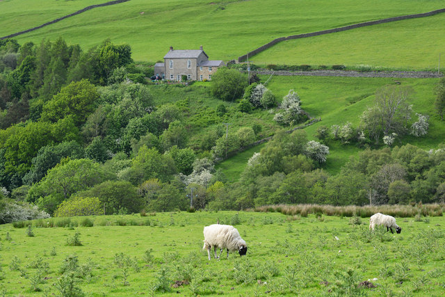
Image: © Trevor Littlewood Taken: 6 Jun 2014
Sinderhope Burn is a feeder stream to the River East Allen which lies out of view to the left in the image.
Images are licensed for reuse under creativecommons.org/licenses/by-sa/2.0
Image Location
Latitude
54.866045
Longitude
-2.243023