Bell Weir
Introduction
The photograph on this page of Bell Weir by Ray Stanton as part of the Geograph project.
The Geograph project started in 2005 with the aim of publishing, organising and preserving representative images for every square kilometre of Great Britain, Ireland and the Isle of Man.

There are currently over 7.5m images from over 14,400 individuals and you can help contribute to the project by visiting https://www.geograph.org.uk
Bell Weir
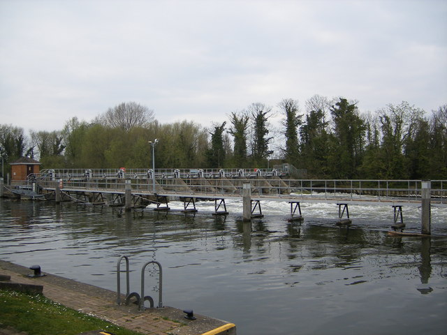
Image: © Ray Stanton Taken: 9 Apr 2007
The Thames runs from left to right. The river on the far side runs down the weir whilst the calmer water on the near side heads for the lock.
Images are licensed for reuse under creativecommons.org/licenses/by-sa/2.0
Image Location
Latitude
51.439411
Longitude
-0.53862