Northern end of Mortimer Road, Filton
Introduction
The photograph on this page of Northern end of Mortimer Road, Filton by Jaggery as part of the Geograph project.
The Geograph project started in 2005 with the aim of publishing, organising and preserving representative images for every square kilometre of Great Britain, Ireland and the Isle of Man.

There are currently over 7.5m images from over 14,400 individuals and you can help contribute to the project by visiting https://www.geograph.org.uk
Northern end of Mortimer Road, Filton
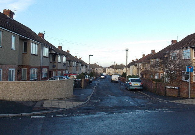
Image: © Jaggery Taken: 29 Dec 2013
Viewed across Nutfield Grove looking towards the turning circle at the end of Mortimer Road about 100 metres ahead. This is the northern end of Mortimer Road, which extends southwards for about 350 metres behind the camera.
Images are licensed for reuse under creativecommons.org/licenses/by-sa/2.0
Image Location
Latitude
51.506593
Longitude
-2.564036