Kirkton Hill
Introduction
The photograph on this page of Kirkton Hill by Rude Health as part of the Geograph project.
The Geograph project started in 2005 with the aim of publishing, organising and preserving representative images for every square kilometre of Great Britain, Ireland and the Isle of Man.

There are currently over 7.5m images from over 14,400 individuals and you can help contribute to the project by visiting https://www.geograph.org.uk
Kirkton Hill
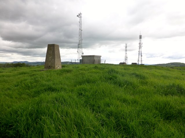
Image: © Rude Health Taken: 23 May 2014
Bagged with Jim Bloomer on a sunny morning. Name: Kirkton Hill Hill number: 5010 Height: 182m / 597ft Parent (Ma/M): 1676 Moncreiffe Hill Area: 26A: Central Scotland from Dumbarton to Montrose Class: Hu,1 Grid ref: NO 10133 20958 Summit feature: trig point Drop: 122m Col: 60m NO121205
Images are licensed for reuse under creativecommons.org/licenses/by-sa/2.0
Image Location
Latitude
56.372372
Longitude
-3.456441