OS benchmark - Albrighton, Bowling Green House
Introduction
The photograph on this page of OS benchmark - Albrighton, Bowling Green House by Richard Law as part of the Geograph project.
The Geograph project started in 2005 with the aim of publishing, organising and preserving representative images for every square kilometre of Great Britain, Ireland and the Isle of Man.

There are currently over 7.5m images from over 14,400 individuals and you can help contribute to the project by visiting https://www.geograph.org.uk
OS benchmark - Albrighton, Bowling Green House
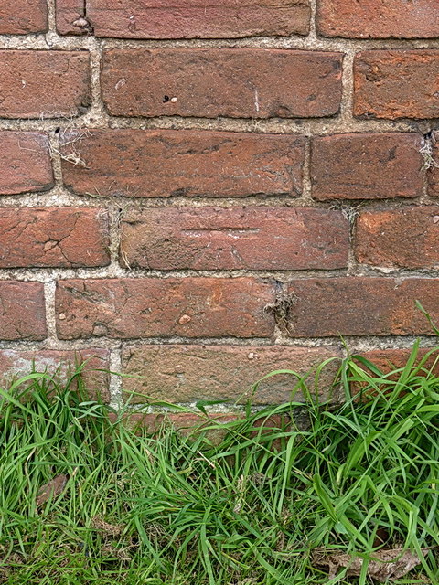
Image: © Richard Law Taken: 11 May 2014
An OS cutmark in the bricks of an outbuilding at Bowling Green House; originally levelled in 1959 at 85.977m above Ordnance Datum Newlyn.
Images are licensed for reuse under creativecommons.org/licenses/by-sa/2.0
Image Location


Leaflet Map data © OpenStreetMap
Latitude
52.635505
Longitude
-2.298733