Mentmore - A house on The Green
Introduction
The photograph on this page of Mentmore - A house on The Green by Rob Farrow as part of the Geograph project.
The Geograph project started in 2005 with the aim of publishing, organising and preserving representative images for every square kilometre of Great Britain, Ireland and the Isle of Man.

There are currently over 7.5m images from over 14,400 individuals and you can help contribute to the project by visiting https://www.geograph.org.uk
Mentmore - A house on The Green
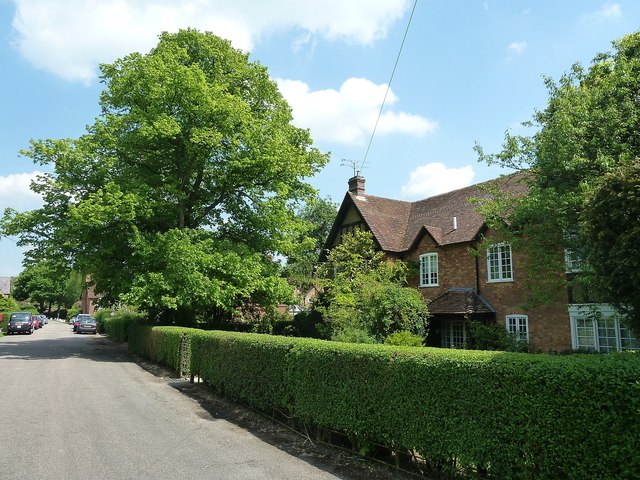
Image: © Rob Farrow Taken: 17 May 2014
This is one of the row of houses along the village street called The Green which borders the village green of the same name on the southeastern side. See also Image] and Image]
Images are licensed for reuse under creativecommons.org/licenses/by-sa/2.0
Image Location
Latitude
51.869137
Longitude
-0.683635