Wick Lane, Christchurch
Introduction
The photograph on this page of Wick Lane, Christchurch by Mike Searle as part of the Geograph project.
The Geograph project started in 2005 with the aim of publishing, organising and preserving representative images for every square kilometre of Great Britain, Ireland and the Isle of Man.

There are currently over 7.5m images from over 14,400 individuals and you can help contribute to the project by visiting https://www.geograph.org.uk
Wick Lane, Christchurch
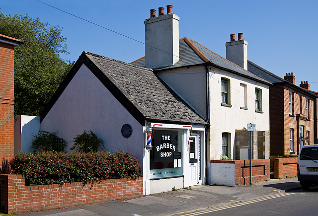
Image: © Mike Searle Taken: 18 May 2014
Christchurch was a designated defended town in the reign of Alfred the Great. Close to this spot was the site of an excavation of the town's 9th century Saxon defences.
Images are licensed for reuse under creativecommons.org/licenses/by-sa/2.0
Image Location
Latitude
50.732804
Longitude
-1.777911