Street, Buckland
Introduction
The photograph on this page of Street, Buckland by Robin Webster as part of the Geograph project.
The Geograph project started in 2005 with the aim of publishing, organising and preserving representative images for every square kilometre of Great Britain, Ireland and the Isle of Man.

There are currently over 7.5m images from over 14,400 individuals and you can help contribute to the project by visiting https://www.geograph.org.uk
Street, Buckland
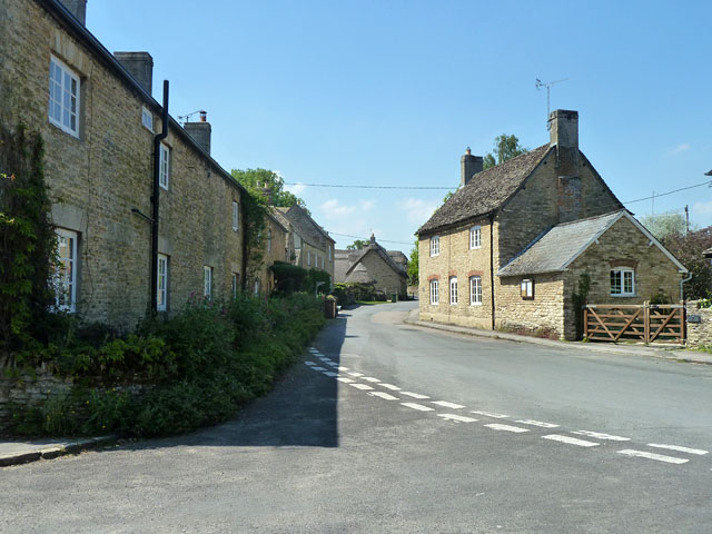
Image: © Robin Webster Taken: 18 May 2014
This continues as St. George's Road when out of the village, but houses in the older, central part of the village do not have a street name in their addresses.
Images are licensed for reuse under creativecommons.org/licenses/by-sa/2.0
Image Location
Latitude
51.679538
Longitude
-1.504157