Western end of Knap Car Terrace, Barry
Introduction
The photograph on this page of Western end of Knap Car Terrace, Barry by Jaggery as part of the Geograph project.
The Geograph project started in 2005 with the aim of publishing, organising and preserving representative images for every square kilometre of Great Britain, Ireland and the Isle of Man.

There are currently over 7.5m images from over 14,400 individuals and you can help contribute to the project by visiting https://www.geograph.org.uk
Western end of Knap Car Terrace, Barry
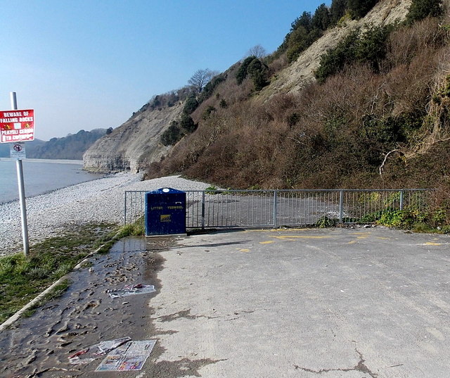
Image: © Jaggery Taken: 5 Mar 2013
The red sign on the left shows BEWARE OF FALLING ROCKS. At the early March 2013 date of this view, vehicular access ended at this http://www.geograph.org.uk/photo/3966004 barrier about 50 metres behind the camera.
Images are licensed for reuse under creativecommons.org/licenses/by-sa/2.0
Image Location
Latitude
51.392093
Longitude
-3.302388