Track to Scout & Guide camp site, Bures
Introduction
The photograph on this page of Track to Scout & Guide camp site, Bures by Roger Jones as part of the Geograph project.
The Geograph project started in 2005 with the aim of publishing, organising and preserving representative images for every square kilometre of Great Britain, Ireland and the Isle of Man.

There are currently over 7.5m images from over 14,400 individuals and you can help contribute to the project by visiting https://www.geograph.org.uk
Track to Scout & Guide camp site, Bures
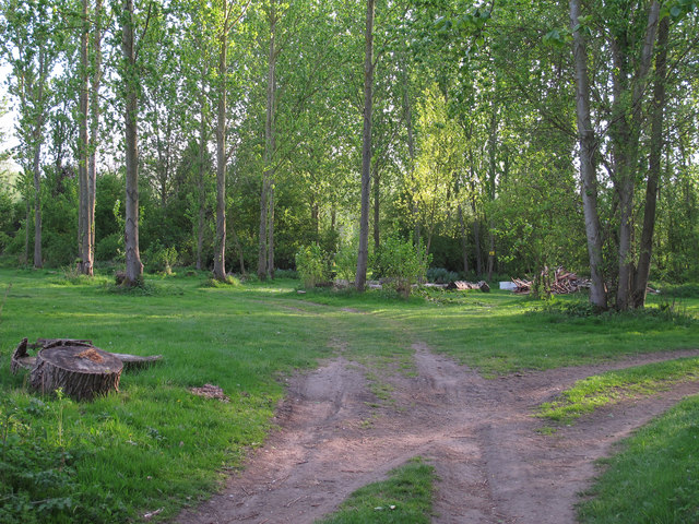
Image: © Roger Jones Taken: 19 Apr 2014
The track to the right leads to the 1st Bures Scout & Guide Group camp site by the Stour.
Images are licensed for reuse under creativecommons.org/licenses/by-sa/2.0
Image Location
Latitude
51.975636
Longitude
0.774983