Ynys Cerrig-duon
Introduction
The photograph on this page of Ynys Cerrig-duon by Dewi as part of the Geograph project.
The Geograph project started in 2005 with the aim of publishing, organising and preserving representative images for every square kilometre of Great Britain, Ireland and the Isle of Man.

There are currently over 7.5m images from over 14,400 individuals and you can help contribute to the project by visiting https://www.geograph.org.uk
Ynys Cerrig-duon
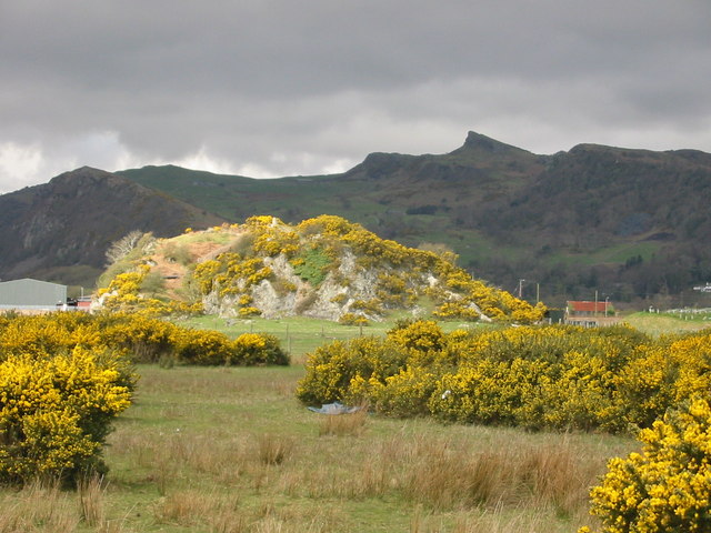
Image: © Dewi Taken: 3 Apr 2003
One of many rocky outcrops in the area which would have been islands before the "Traeth Mawr" was reclaimed from the sea nearly 200 years ago.
Images are licensed for reuse under creativecommons.org/licenses/by-sa/2.0
Image Location
Latitude
52.929918
Longitude
-4.124875