Markham Road, Bramcote Hills
Introduction
The photograph on this page of Markham Road, Bramcote Hills by Alan Murray-Rust as part of the Geograph project.
The Geograph project started in 2005 with the aim of publishing, organising and preserving representative images for every square kilometre of Great Britain, Ireland and the Isle of Man.

There are currently over 7.5m images from over 14,400 individuals and you can help contribute to the project by visiting https://www.geograph.org.uk
Markham Road, Bramcote Hills
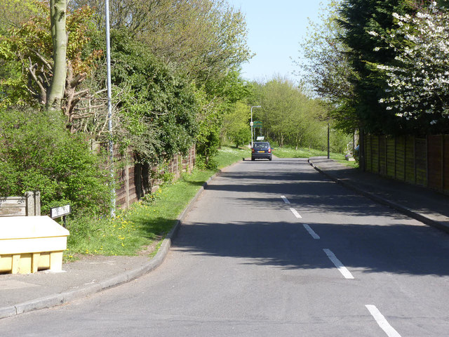
Image: © Alan Murray-Rust Taken: 16 Apr 2014
Access to housing to the east of Sandy Lane developed during the late 1970s.
Images are licensed for reuse under creativecommons.org/licenses/by-sa/2.0
Image Location
Latitude
52.940972
Longitude
-1.233925