Ingress Park and the River Thames
Introduction
The photograph on this page of Ingress Park and the River Thames by Marathon as part of the Geograph project.
The Geograph project started in 2005 with the aim of publishing, organising and preserving representative images for every square kilometre of Great Britain, Ireland and the Isle of Man.

There are currently over 7.5m images from over 14,400 individuals and you can help contribute to the project by visiting https://www.geograph.org.uk
Ingress Park and the River Thames
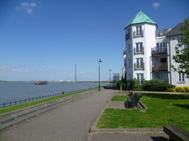
Image: © Marathon Taken: 15 Apr 2014
The High Street in Greenhithe still has the atmosphere of the Victorian tourist resort it once was. At the end of the High Street, a path leads to the Thames and the extensive riverside walk alongside the new development of Ingress Park. This looks along the riverside path towards the first part of Ingress Park that is seen. For another view of the development go to http://www.geograph.org.uk/photo/2532502 In the far distance is Swanscombe Pylon, the highest (along with its twin on the north side of the Thames) in Britain at 623 feet and the second highest in Europe - see http://www.geograph.org.uk/photo/1669490
Images are licensed for reuse under creativecommons.org/licenses/by-sa/2.0
Image Location
Latitude
51.453658
Longitude
0.285996