Primitive Place name plate, Beaufort
Introduction
The photograph on this page of Primitive Place name plate, Beaufort by Jaggery as part of the Geograph project.
The Geograph project started in 2005 with the aim of publishing, organising and preserving representative images for every square kilometre of Great Britain, Ireland and the Isle of Man.

There are currently over 7.5m images from over 14,400 individuals and you can help contribute to the project by visiting https://www.geograph.org.uk
Primitive Place name plate, Beaufort
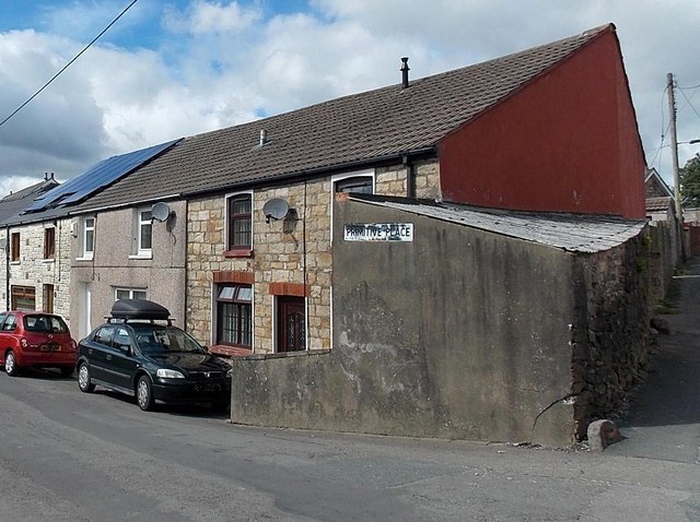
Image: © Jaggery Taken: 10 Sep 2013
The placement of the name plate led me to assume that these houses were in Primitive Place, whereas they are part of Mayfield Terrace. A small part of Primitive Place is at the right edge of the view. The name is a reference to Ebenezer Primitive Methodist Church, now demolished. There is a memorial garden in part of the churchyard.
Images are licensed for reuse under creativecommons.org/licenses/by-sa/2.0
Image Location
Latitude
51.79717
Longitude
-3.210344