Booth Street Drill Hall
Introduction
The photograph on this page of Booth Street Drill Hall by John M as part of the Geograph project.
The Geograph project started in 2005 with the aim of publishing, organising and preserving representative images for every square kilometre of Great Britain, Ireland and the Isle of Man.

There are currently over 7.5m images from over 14,400 individuals and you can help contribute to the project by visiting https://www.geograph.org.uk
Booth Street Drill Hall
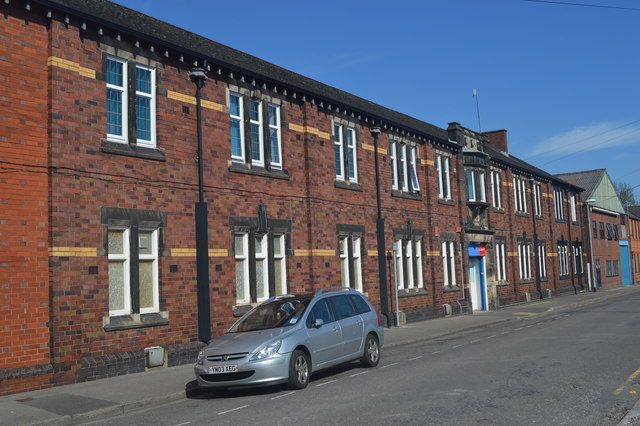
Image: © John M Taken: 16 Apr 2014
Drill hall built in 1913 for Staffordshire Yeomanry and North Staffordshire Regiment. Until recently this was a Council Sports Centre.
Images are licensed for reuse under creativecommons.org/licenses/by-sa/2.0
Image Location
Latitude
53.000286
Longitude
-2.18547