Catt's Hill at the junction of Padfield Close
Introduction
The photograph on this page of Catt's Hill at the junction of Padfield Close by David Howard as part of the Geograph project.
The Geograph project started in 2005 with the aim of publishing, organising and preserving representative images for every square kilometre of Great Britain, Ireland and the Isle of Man.

There are currently over 7.5m images from over 14,400 individuals and you can help contribute to the project by visiting https://www.geograph.org.uk
Catt's Hill at the junction of Padfield Close
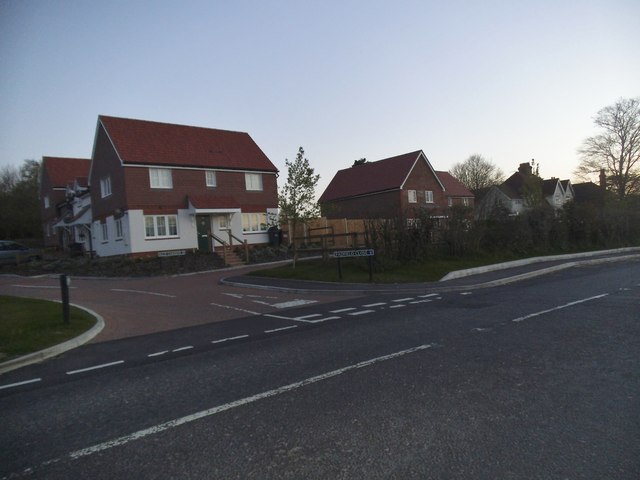
Image: © David Howard Taken: 13 Apr 2014
There was no Padfield Close or associated houses a few years ago. Green belt? What green belt?
Images are licensed for reuse under creativecommons.org/licenses/by-sa/2.0
Image Location
Latitude
51.04911
Longitude
0.236196