Church Road, Shoeburyness
Introduction
The photograph on this page of Church Road, Shoeburyness by David Kemp as part of the Geograph project.
The Geograph project started in 2005 with the aim of publishing, organising and preserving representative images for every square kilometre of Great Britain, Ireland and the Isle of Man.

There are currently over 7.5m images from over 14,400 individuals and you can help contribute to the project by visiting https://www.geograph.org.uk
Church Road, Shoeburyness
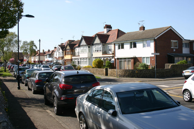
Image: © David Kemp Taken: 13 Apr 2014
Taken outside St Andrew's church (left) near the corner of Richmond Avenue. Although St Andrew's has very much the look of a country church both inside and out it is surrounded on all sides by suburban development such as this.
Images are licensed for reuse under creativecommons.org/licenses/by-sa/2.0
Image Location
Latitude
51.527725
Longitude
0.779054