Whatton and Aslockton Playing Fields
Introduction
The photograph on this page of Whatton and Aslockton Playing Fields by Alan Murray-Rust as part of the Geograph project.
The Geograph project started in 2005 with the aim of publishing, organising and preserving representative images for every square kilometre of Great Britain, Ireland and the Isle of Man.

There are currently over 7.5m images from over 14,400 individuals and you can help contribute to the project by visiting https://www.geograph.org.uk
Whatton and Aslockton Playing Fields
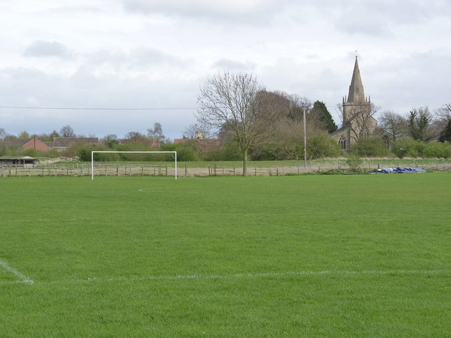
Image: © Alan Murray-Rust Taken: 6 Apr 2014
Set out for football at this time of year, but also used for cricket http://www.geograph.org.uk/photo/3923443
Images are licensed for reuse under creativecommons.org/licenses/by-sa/2.0
Image Location
Latitude
52.95028
Longitude
-0.897088