Toll House at the end of Sprotbrough bridge
Introduction
The photograph on this page of Toll House at the end of Sprotbrough bridge by Chris as part of the Geograph project.
The Geograph project started in 2005 with the aim of publishing, organising and preserving representative images for every square kilometre of Great Britain, Ireland and the Isle of Man.

There are currently over 7.5m images from over 14,400 individuals and you can help contribute to the project by visiting https://www.geograph.org.uk
Toll House at the end of Sprotbrough bridge
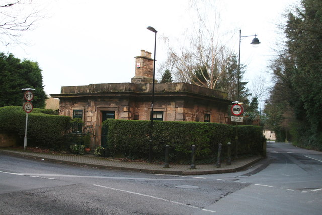
Image: © Chris Taken: 23 Mar 2014
What you see here is the top floor. Below, and backing onto the garden behind, is another storey. In what is now a large housing state known as The park, was the local stately home of the Copley family, Sprotbrough Hall, which was built by Sir Godfrey Copley in 1685. It was the Copley family who had the bridge built and collected the tolls.
Images are licensed for reuse under creativecommons.org/licenses/by-sa/2.0
Image Location
Latitude
53.507897
Longitude
-1.190872