Ffordd Geltaidd / Celtic Trail
Introduction
The photograph on this page of Ffordd Geltaidd / Celtic Trail by Alan Richards as part of the Geograph project.
The Geograph project started in 2005 with the aim of publishing, organising and preserving representative images for every square kilometre of Great Britain, Ireland and the Isle of Man.

There are currently over 7.5m images from over 14,400 individuals and you can help contribute to the project by visiting https://www.geograph.org.uk
Ffordd Geltaidd / Celtic Trail
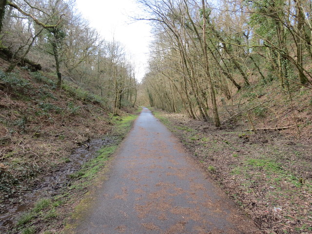
Image: © Alan Richards Taken: 23 Mar 2014
Hen reilffordd sy bellach yn llwybr seiclo a adwaenir y Ffordd Geltaidd. Former railway that is today a cycle track known as the Celtic Trail.
Images are licensed for reuse under creativecommons.org/licenses/by-sa/2.0
Image Location
Latitude
51.564652
Longitude
-3.252634