The site of a level crossing on the A6144 near Oughtrington
Introduction
The photograph on this page of The site of a level crossing on the A6144 near Oughtrington by Raymond Knapman as part of the Geograph project.
The Geograph project started in 2005 with the aim of publishing, organising and preserving representative images for every square kilometre of Great Britain, Ireland and the Isle of Man.

There are currently over 7.5m images from over 14,400 individuals and you can help contribute to the project by visiting https://www.geograph.org.uk
The site of a level crossing on the A6144 near Oughtrington
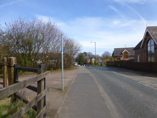
Image: © Raymond Knapman Taken: 19 Mar 2014
The old Warrington to Stockport Railway crossed the road on a skewed course here. This is now part of the Trans Pennine Trail
Images are licensed for reuse under creativecommons.org/licenses/by-sa/2.0
Image Location
Latitude
53.38959
Longitude
-2.454954