Stoke Street/Burrell Road junction
Introduction
The photograph on this page of Stoke Street/Burrell Road junction by Hamish Griffin as part of the Geograph project.
The Geograph project started in 2005 with the aim of publishing, organising and preserving representative images for every square kilometre of Great Britain, Ireland and the Isle of Man.

There are currently over 7.5m images from over 14,400 individuals and you can help contribute to the project by visiting https://www.geograph.org.uk
Stoke Street/Burrell Road junction
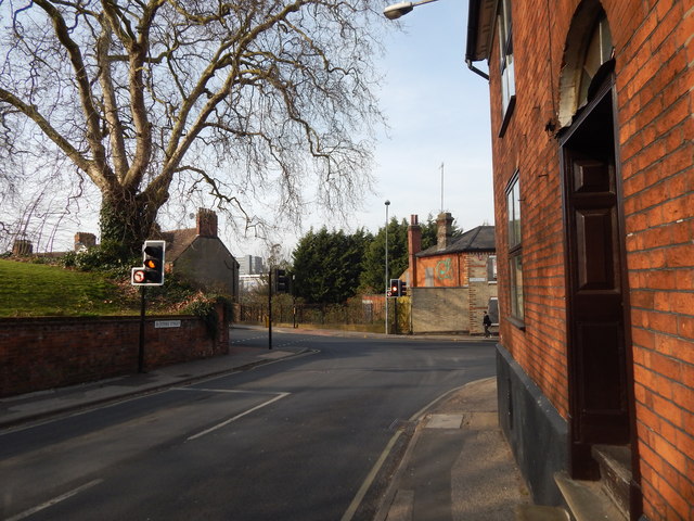
Image: © Hamish Griffin Taken: 13 Mar 2014
This is Stoke Street, which was Belstead Road just further up. This is a minor (presumably C road) but if you turn right it is still Stoke Street but is the B1073, while if you turn left, it is the B1073 Burrell Road. See http://www.sabre-roads.org.uk/wiki/index.php?title=B1073 fore more info on the B1073.
Images are licensed for reuse under creativecommons.org/licenses/by-sa/2.0
Image Location
Latitude
52.050814
Longitude
1.152902