Upper Cefn Perfa
Introduction
The photograph on this page of Upper Cefn Perfa by Jonathan Wilkins as part of the Geograph project.
The Geograph project started in 2005 with the aim of publishing, organising and preserving representative images for every square kilometre of Great Britain, Ireland and the Isle of Man.

There are currently over 7.5m images from over 14,400 individuals and you can help contribute to the project by visiting https://www.geograph.org.uk
Upper Cefn Perfa
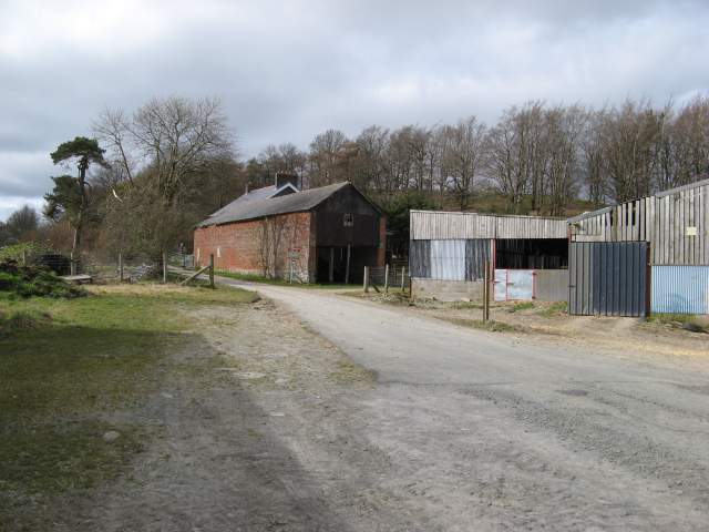
Image: © Jonathan Wilkins Taken: 17 Mar 2014
A view of the farm buildings which straddle the road. A new house has been built, and the brick barn appears to be for sale with a view to conversion.
Images are licensed for reuse under creativecommons.org/licenses/by-sa/2.0
Image Location
Latitude
52.493084
Longitude
-3.294028